
Consulting in Geotechnologies, IT Security, and System Hardening

Digital terrain models.
Flood/Drought Risks.
Land Use and Land Cover
Historical Climate and Projections.
Geo Weather Portals
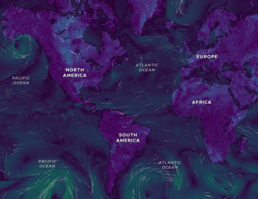
Animated visualizations of various weather variables, such as wind, temperature, and precipitation radar. These layers show both current weather conditions and forecasts for up to 4 or 5 days, depending on the selected variable.
Soil Geoportal
SoilGrids
SoilGrids offers high-resolution global soil maps.
Soil data provided by ISRIC – World Soil Information (SoilGrids), under a CC BY 4.0 license.
Visit the SoilGrids portal
Geo Technologies
Learn about
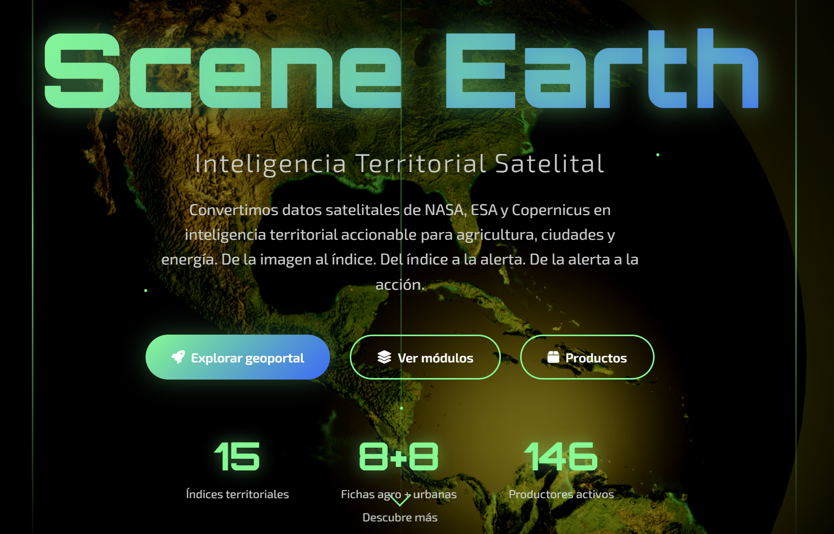
SceneEarth
- Urban Vulnerability — IVCU: IPCC AR6 Framework . Exposure + sensitivity + adaptive capacity. By neighborhood.
- Urban Heat — ICU: Landsat 30-meter surface temperature . Heat islands identified by city block.
- Yield Assessment – Agriculture Sector: Is this farm producing the same yield as it did 3 years ago? Historical NDVI + score 0–100.
Digital Cartography
Production of base and thematic maps, digitization of maps, and creation of vector and raster layers for municipalities, institutions, and development projects.
Land-Use Planning and the POT
Technical support for land-use planning: land-use mapping, zoning, municipal geodatabases, suitability analysis, and digital municipal records.
Geospatial Web Platforms
Development of web applications and PWAs featuring interactive maps (MapLibre GL JS), WMS/WFS services, geospatial REST APIs, and territorial decision-making dashboards.
Spatial Databases
Design, implementation, and administration of geodatabases in PostgreSQL/PostGIS. Data structuring in accordance with OGC and INSPIRE standards and national models.
Land Registry and Property Inventory
Land surveys, cadastral updates, creation of georeferenced land layers, and support for multipurpose cadastral processes.
Territorial Intelligence
Territorial analysis platforms that combine socioeconomic, environmental, and cadastral data. Territorial scores, automated reports, and dashboards for decision-making.
Remote Sensing and Satellite Imagery
Processing of Sentinel-2, Landsat, and Planet imagery. Analysis of land cover, change detection, NDVI, wetlands, risk zones, and land use using Google Earth Engine.
Risk and Climate Analysis
Modeling of flood, drought, and landslide hazards. Integration of historical climate data and projections for risk management and environmental planning.
GIS Analysis
Interactive data visualization using BI tools, through dashboards to identify trends and patterns.
Contact
—
Marco A. Ríos
Information Technology Consultant
www.espacialhn.com
marcorios@espacialhn.com